Google Maps Uses Landmark Based Navigation For Directions “ Turn Right After KFC”


Google Maps is a web mapping service developed by Google and now it has been a staple of the internet for over a decade. It provides pretty good directions, but it seems that Google has recently updated its features that make it even much better. With this new update, Google Maps believe on landmarks to give users more natural driving directions. Now, from this blog, you will know how Google maps uses landmark for directions.
New Update of Google Maps : Landmark Based Direction
Google is testing a new way to deliver those instructions by using visual landmarks in the area. These tests are the part of a series of efforts to make voice guidance better. Right now, Google Maps gives straightforward directions where it tells you to turn left, right, going straight, and so on. It is a bit mechanical, but in the new update of Google, it will use the names of landmarks. As for example, a user revealed that Google Maps told him to “turn left after Domino’s” which is admittedly more straightforward & obviously drivers will get to know what to look out for.
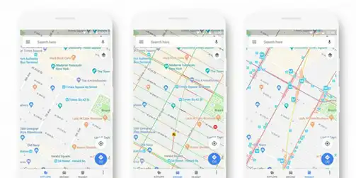
![]()
Google is reportedly testing a new feature in which Google Maps Uses Landmark including restaurants for easy navigation, as a point of reference to give directions to a rider. For Example,
“instead of telling you to turn left onto Acacia Avenue, it might tell you to turn after the KFC,” a report in Engadget said on late 17th April.

Google Maps Loves Fast Food Chains
Generally, Google Maps uses restaurants names instead of using a combination of distances and street names. Some users have noticed that Google Maps has started naming places of interest when giving directions. These places of interest include fast food restaurants such as Burger King, Domino’s, KFC and White Castle. But we have to assume there is no favoritism here.
This feature has not been advertised, and not listed in the most recent update. And that’s probably because this is just being tested right now. However, Google told Engadget that this is just one of a number of methods being tested to “make guidance better”.
How Does Google Maps Uses Landmarks for Directions?
1. First of all, open the Google Maps app on your Android phone or tablet.
2. Then, search for a place or tap it on the map.
3. In the bottom right, tap on Directions. If you touch & hold the button instead, you will start navigation & can skip steps 4-6.
4. Next, to add the additional destinations, go to the top right & tap More >> Add stop. You can add up to 9 stops. When you are finished, then tap on Done.
5. Now, choose one of the following:
- Driving
- Transit
- Walking
- Rides
- Cycling
6. If other routes are available, then it will be shown in gray on the map. To follow an alternate route, tap on the gray line.
7. To start the navigation, tap on Start icon. If you see “Searching for GPS,” your phone is trying to get a GPS signal.
8. At last, if you want to cancel or stop the navigation, then go to the bottom left and tap on the Close icon.
The Bottom Line
Google has recently update that Google Maps uses landmark for directions. However, Google could use any type of permanent landmark for instructions, whether it’s a restaurant, business, statue, street art, or historical monument. This feature of Google Maps is certainly going to be easier to find out your way.